Loading... Please wait...

Categories

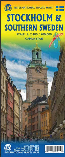
Stockholm Southern Sweden Travel Map

Hover over image to zoom

  • Street plan of Stockholm highlighting locations of numerous hotels and prominently marking metro stations, with an enlargement for the Old Town area and a diagram of the metro and suburban lines. Coverage extends from the Globen complex in the south to beyond the Stockholm Östra railway station in the north, and from Karlberg railway station in the west to the ferry terminals with connections to Finland and Baltic States. Metro and railway stations are clearly shown and ferry connections are marked. The plan highlights various places of interest, locations of numerous hotels, theatres and cinemas, etc.

The plan is indexed and includes a large, very clear enlargement of the city’s historic centre, the Gamla Stan, plus a diagram of the metro and suburban transport lines.
ITMB
$9.95
SKU:
IT297035
Weight:
0.20 KGS

 Product Description

Street plan of Stockholm highlighting locations of numerous hotels and prominently marking metro stations, with an enlargement for the Old Town area and a diagram of the metro and suburban lines. Coverage extends from the Globen complex in the south to beyond the Stockholm Östra railway station in the north, and from Karlberg railway station in the west to the ferry terminals with connections to Finland and Baltic States. Metro and railway stations are clearly shown and ferry connections are marked. The plan highlights various places of interest, locations of numerous hotels, theatres and cinemas, etc.

The plan is indexed and includes a large, very clear enlargement of the city’s historic centre, the Gamla Stan, plus a diagram of the metro and suburban transport lines.


 Find Similar Products by Category

You Recently Viewed...


newsletter

Copyright 2024 GoTrekkers. All Rights Reserved.
 Sitemap | Ecommerce Website Design by High Country Web Design.